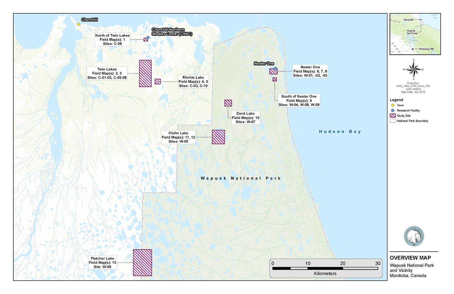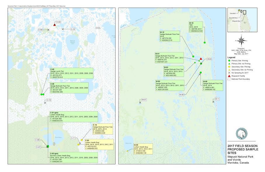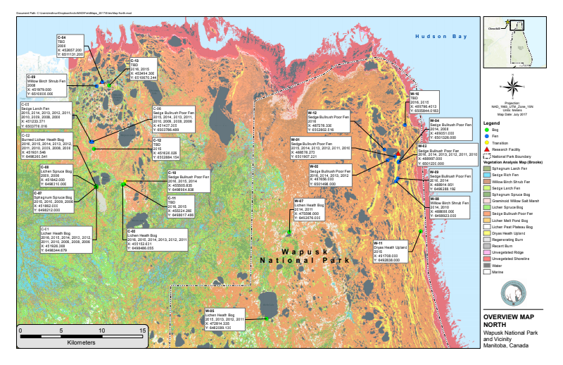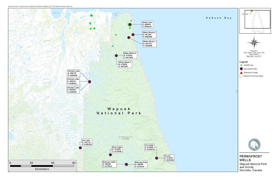
What is GIS?
GIS is like a research scientist's version of Google Maps. GIS serves to pinpoint locations of geographical data. Since our permafrost research varies greatly with regard to the ecosystem within our sample (transect), knowing exactly where the measurements come from is very important. Currently, our team is working to match photos and data points to locations on a map-- click through our slideshow below to see some of our latest ones.
Please contact us for more information.